| Colico |
|
|
|
Colico lies about 60 km away from Como and is the furthest town among those situated on the eastern shore of Lake Como. Just like Sorico, this town represents the “end” of the lake" in the collective imagination. A suggestive aerial view of Pian di Spagna and the estuaries of the Adda and Mera rivers (you see here, Chiavenna). On the right: the small lake of Dascio. On the left: the white snowy peak of Mount Legnone. |
|
|
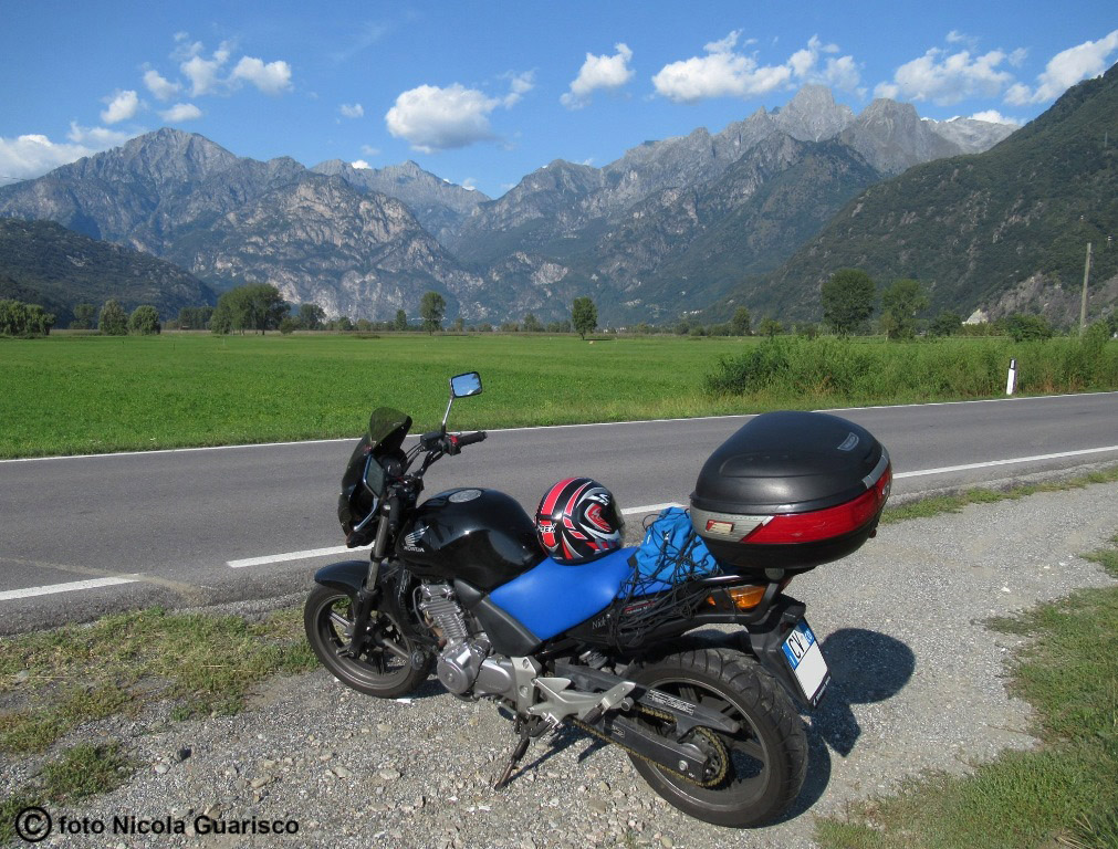
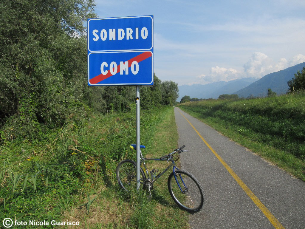
Colico is situated near various road nodes in the direction of the Splügen Pass and St. Moritz. The green plains are crossed by long straight roads. Photo on the right: the Valtellina Path, a 114-km long bike trail that crosses Valtellina and the Lario up to the source of the Adda River passing through Sondrio and Bormio. |
 |
|
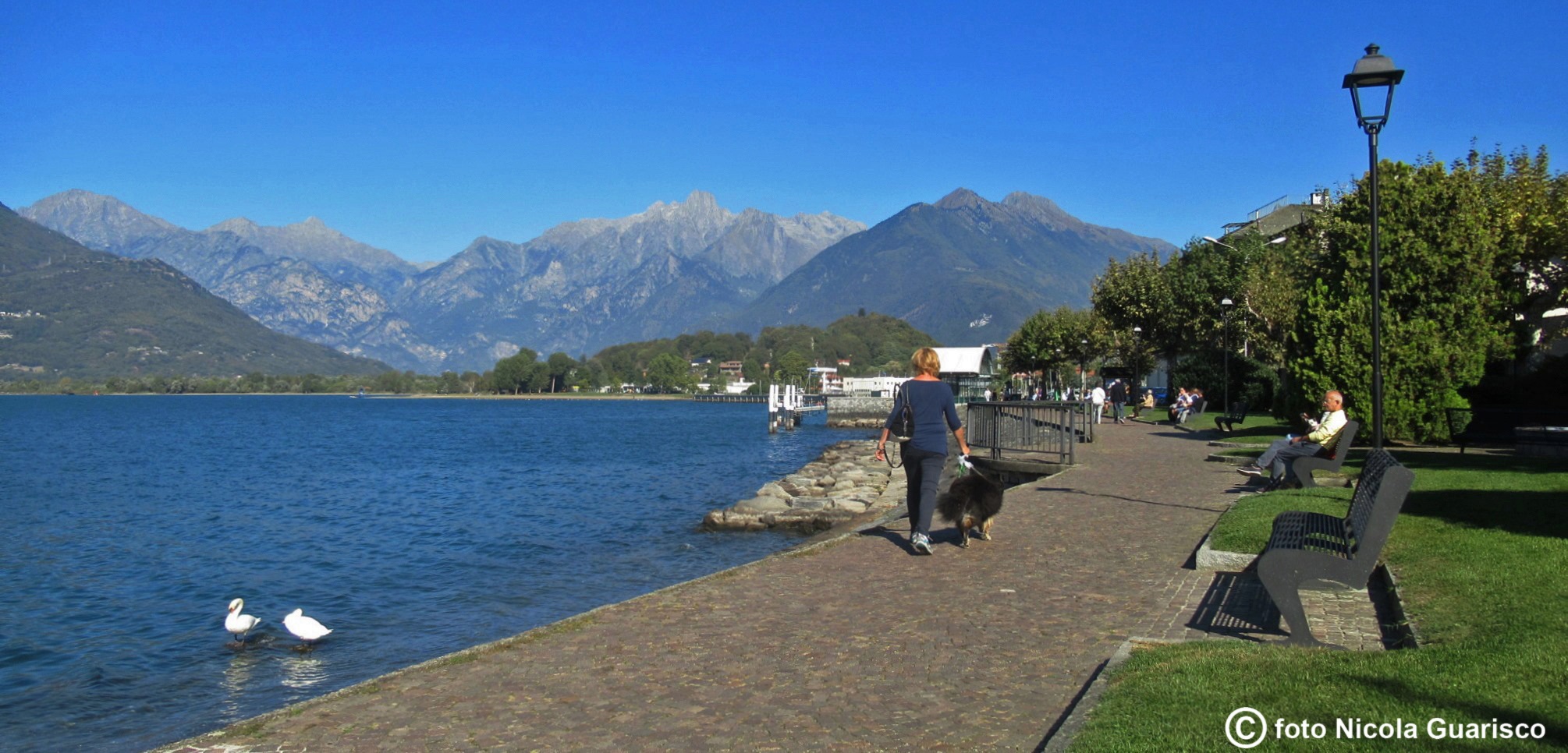
Colico, the lakefront. |
|
|
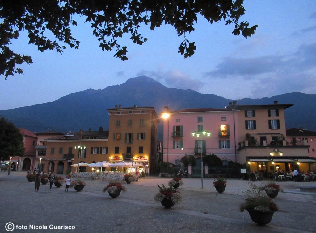
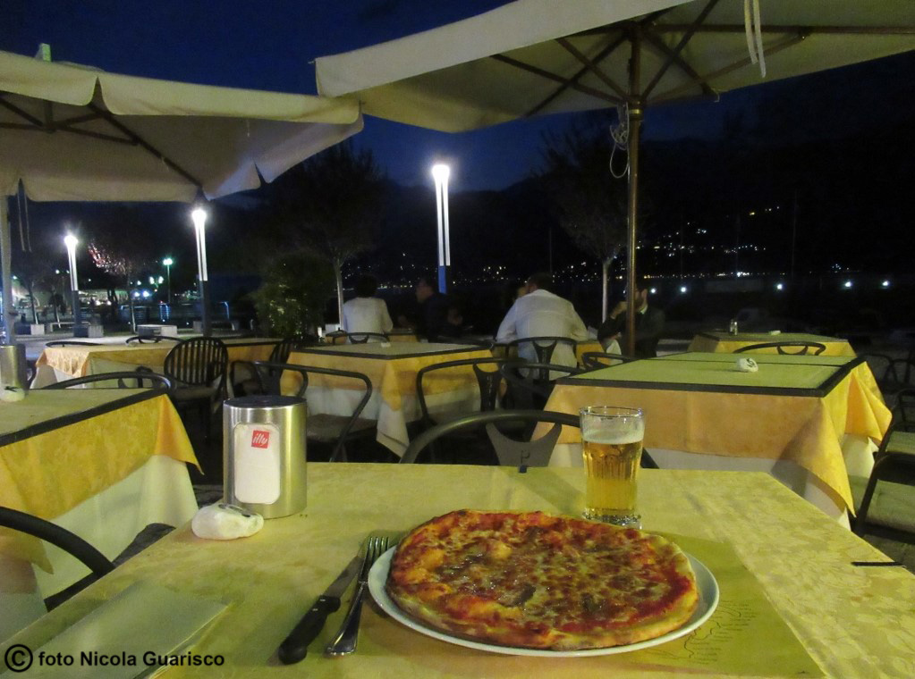
It’s quite unusual for those who live in Como or the lower lake region to spend their evenings in the small, far away town of Colico! It has 8000 inhabitants and is equipped with all sorts of tourism facilities, besides its own train station situated along the Milan-Lecco-Sondrio railway. The Lario ferry terminal is also located here. Sadly enough, Colico lacks historical monuments due to the fact that it was destroyed in the 15th century following various battles that took place here against invading armies, including the Grisons, the Franks, the Spaniards and the Austrians. The town stood deserted for centuries, also due to the arrival of malaria that infested the wetland area of |
 |
|
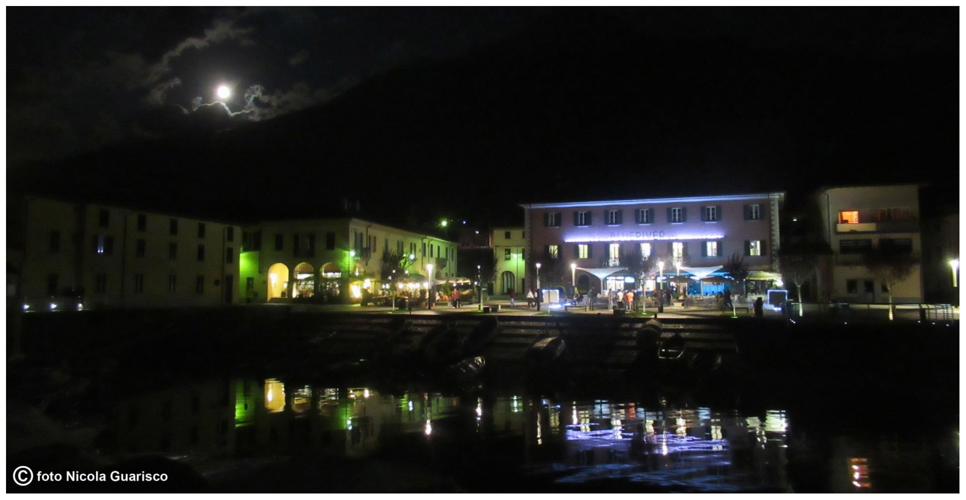
Full moon on Colico. |
|
|
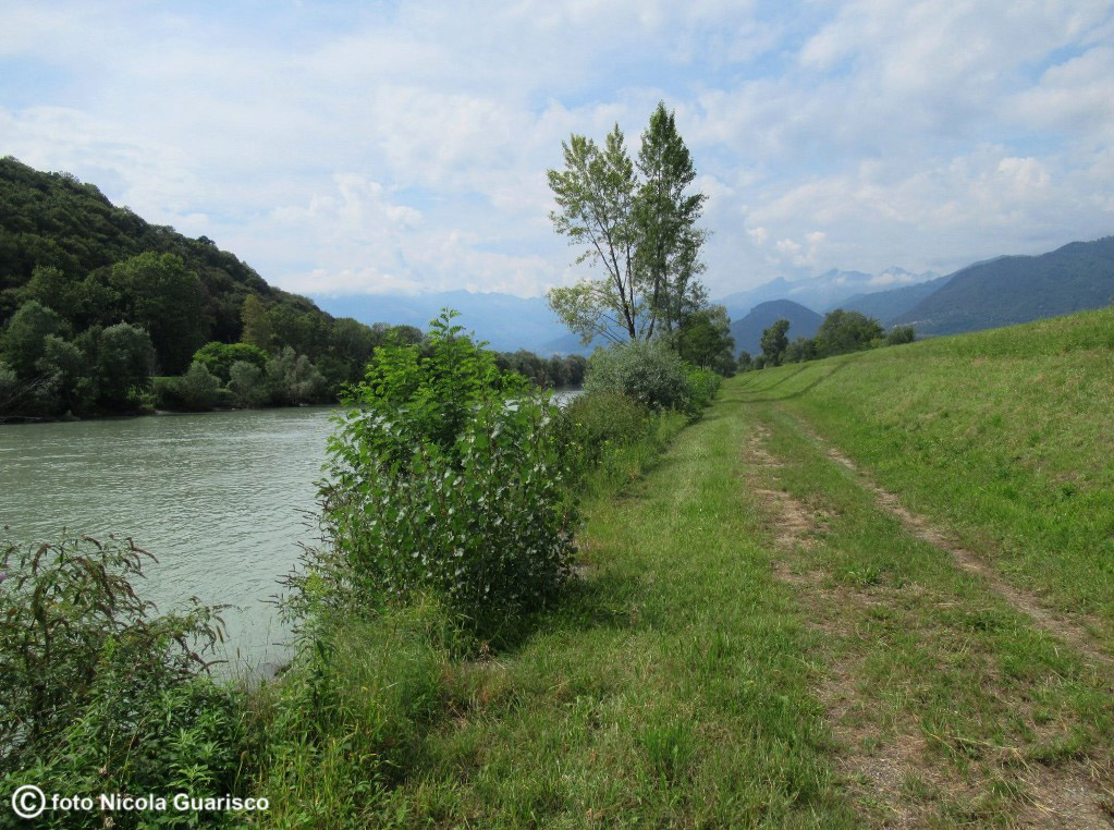
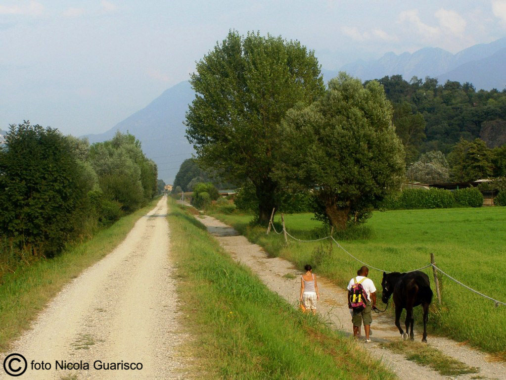
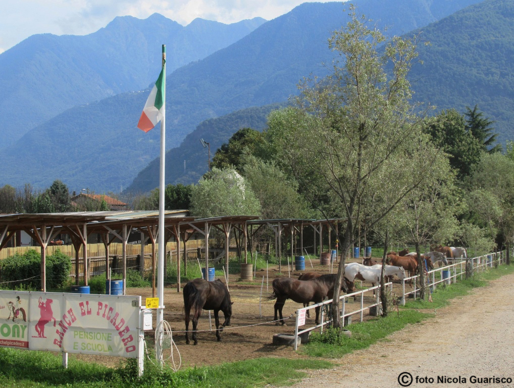
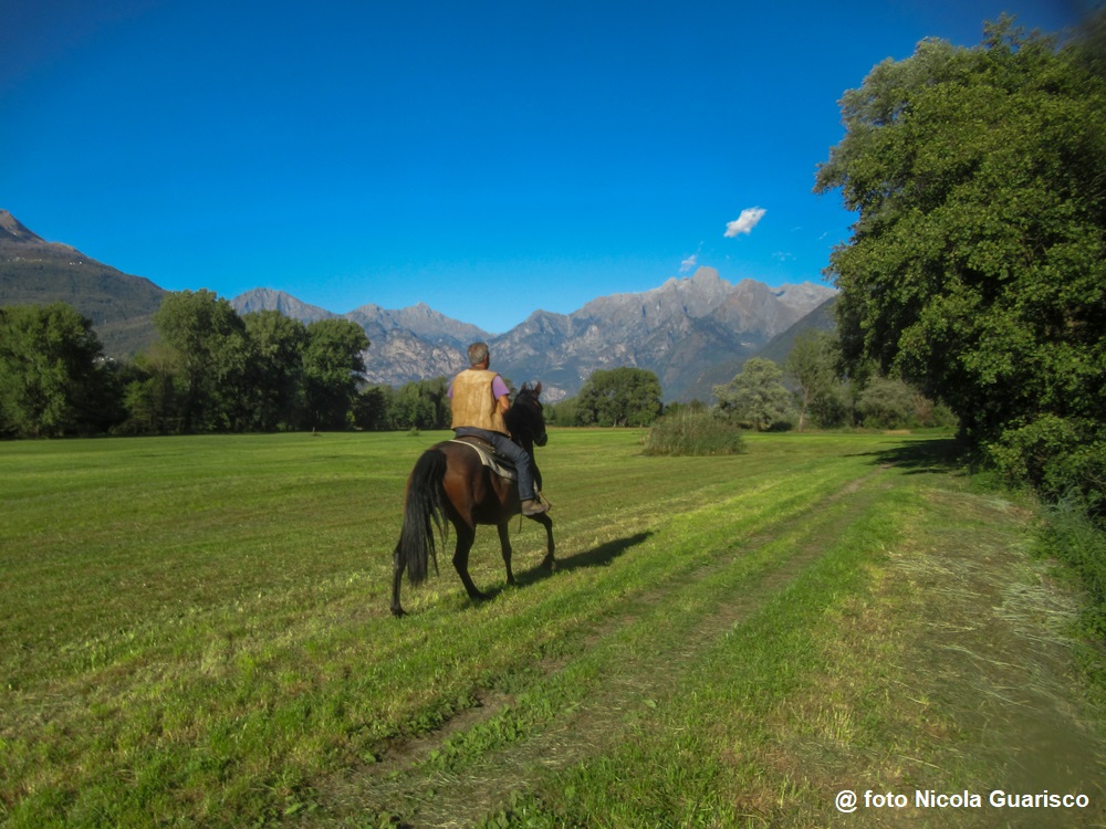
Peaceful moments while riding a bike or a horse along the river. |

|
|
|
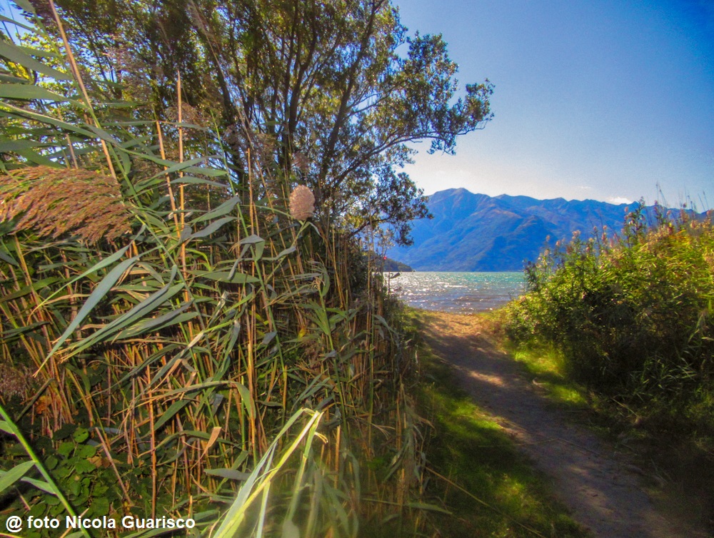
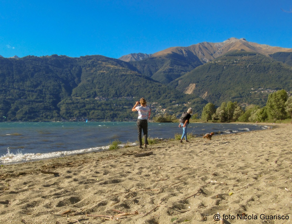
The Pian di Spagna and the "spiaggia selvaggia" (wild beach). |
|
|
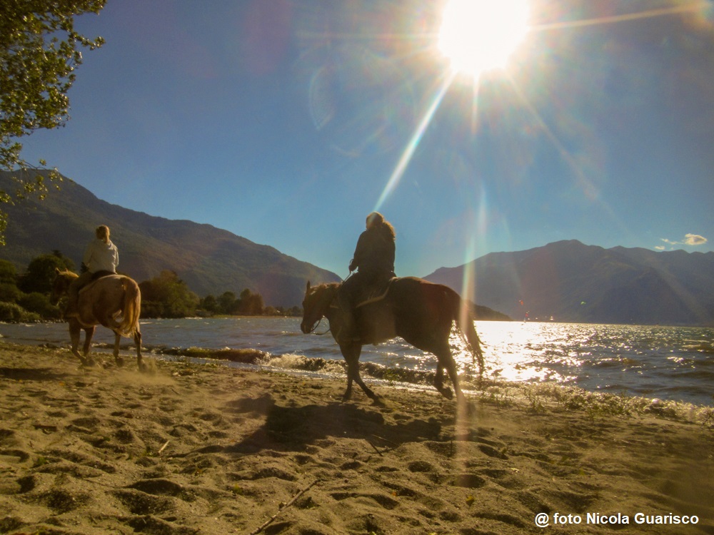
The "spiaggia selvaggia" (wild beach), sandy and windswept. |
 |
|
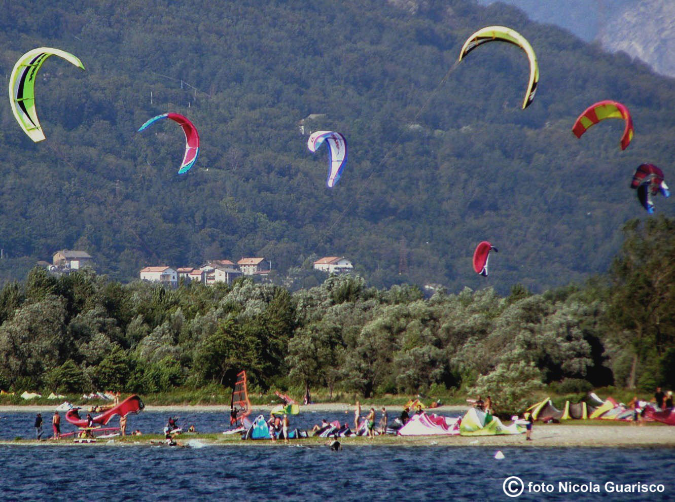
The vast marshlands that originated from the confluence of the Adda and the Mera rivers, most of which have been reclaimed, host the most important natural oasis of Lombardia, a refuge for numerous bird species such as the Royal Swan. Several camping sites with water sports facilities are situated in this area. |
 |
|
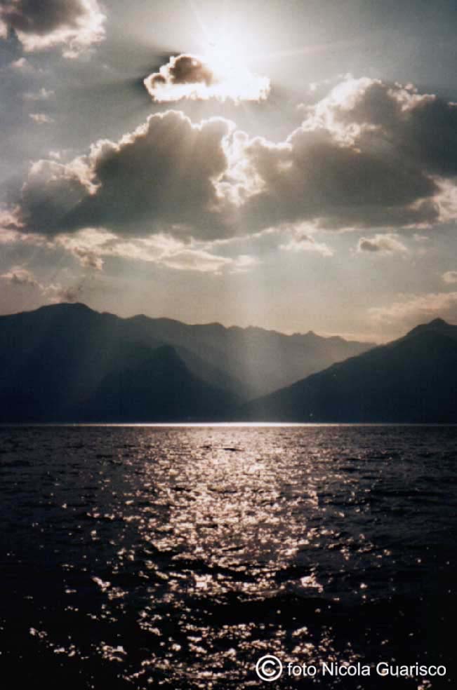
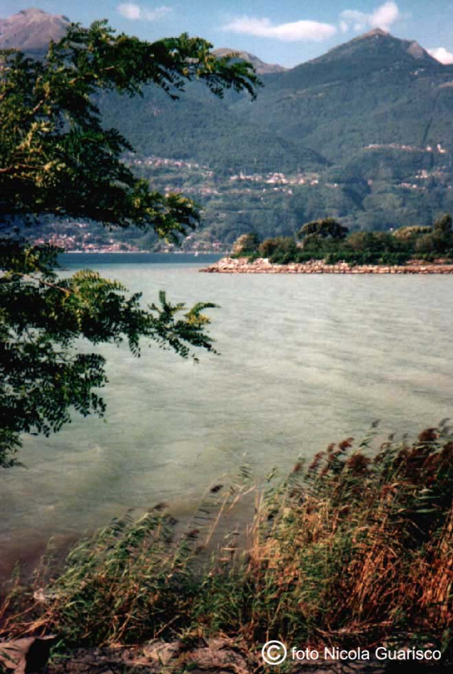
Plays of light reflecting through the lake expanse situated at the far end. The mouth of the Adda River. |
|
|
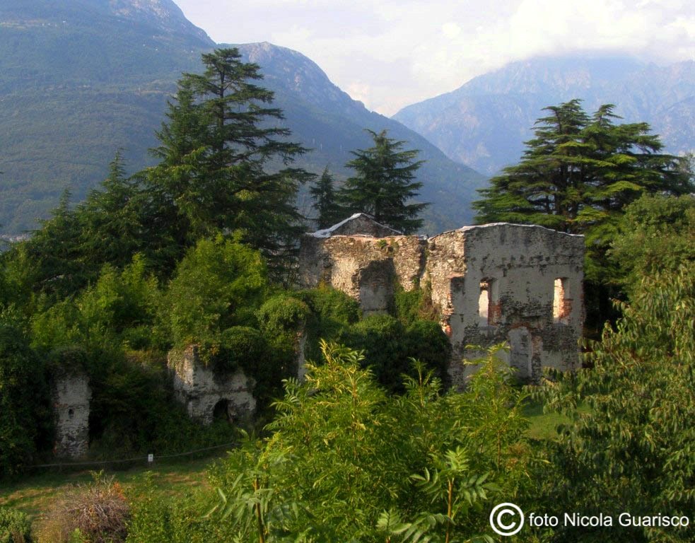
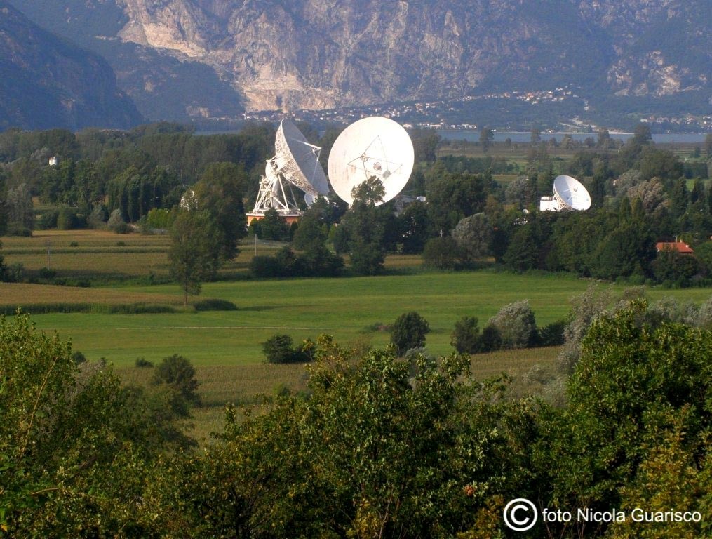
The ruins of Fort Fuentes, erected in 1603 by the Spanish count of Fuentes, governor of Milan, with the purpose of controlling transit ways to ward off the invasion of the Swiss Grigioni. It was dismantled in 1796 under the orders of Napoleon. The satellite communication centre Telespazio with its huge hemispherical and steerable repeaters, located in the plains surrounding the lower lake. |
 |
|
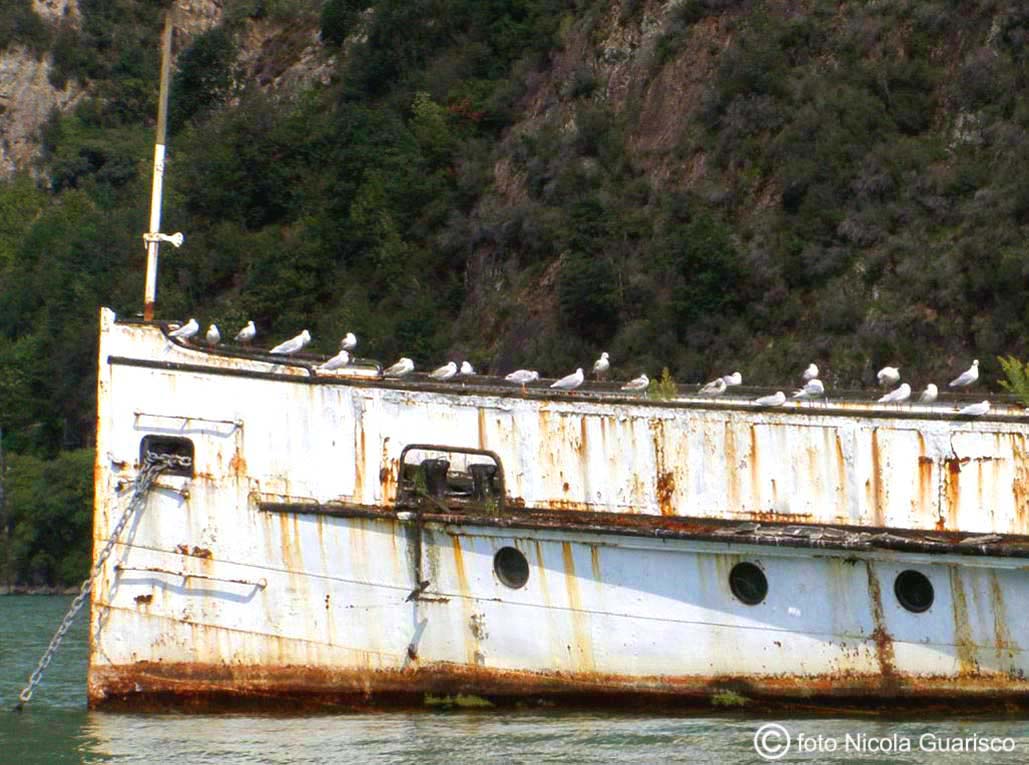
Flocks of seagulls rest on the centuries-old wreck of the Plinio steamship, berthed in Colico for 40 years, |
 |
|
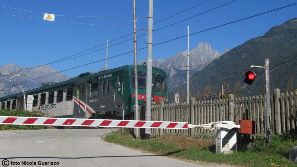
Train in Pian di Spagna. |
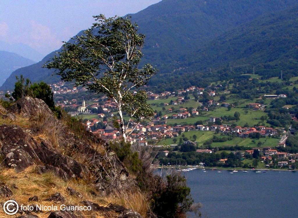 |
|
View of Colico from the tip of the Olgiasca peninsula. |
|
|
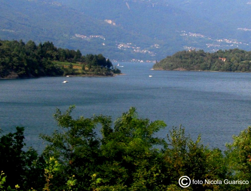
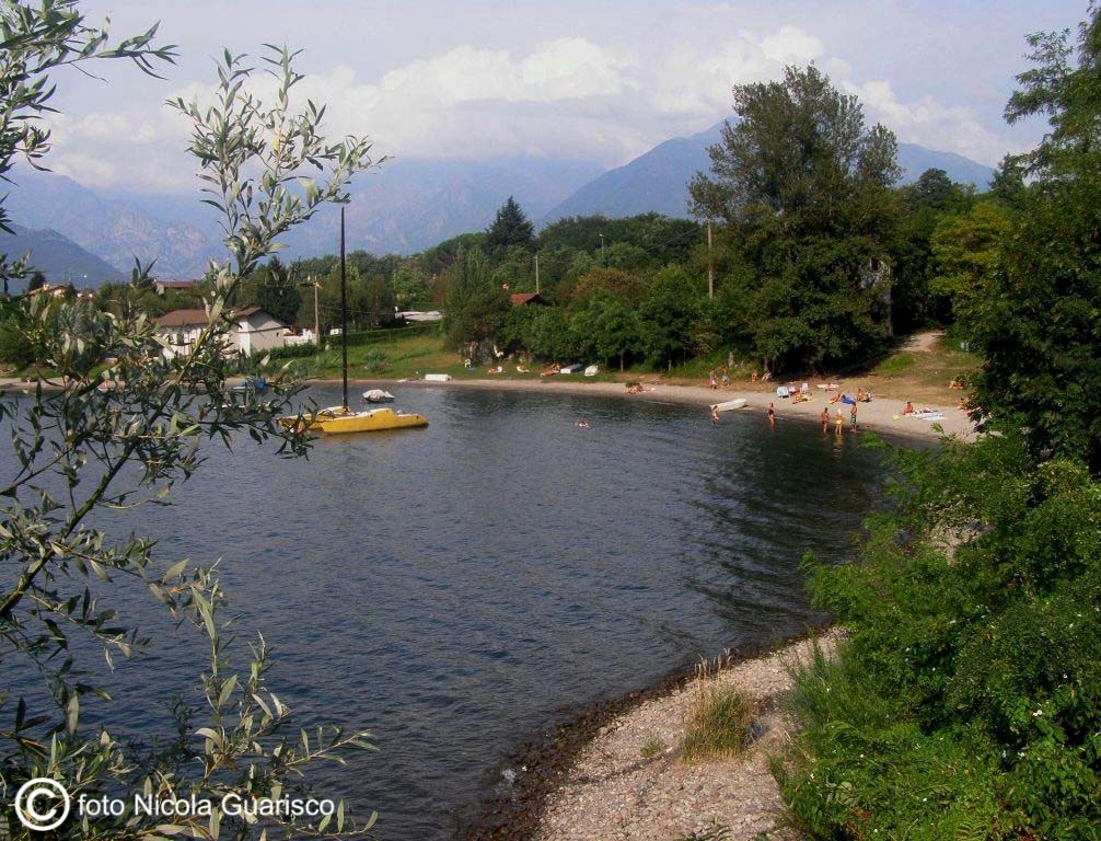
The Piona inlet (or lakelet), with the two promontories and the camping sites along the coast. |
 |
|
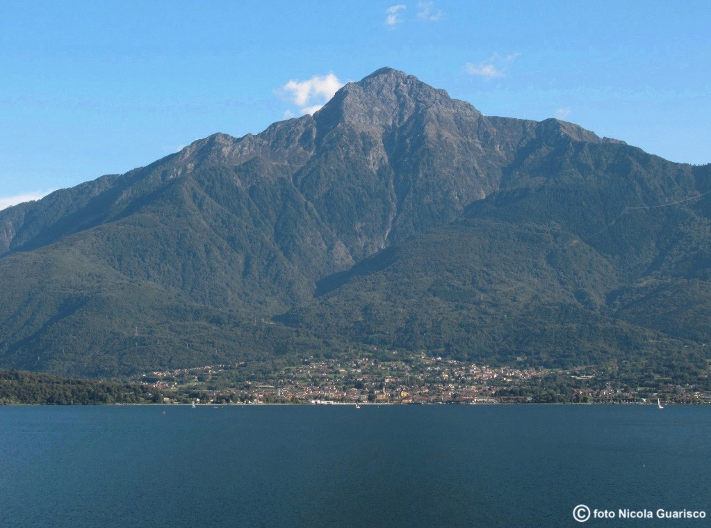
Is this Stromboli? No, actually, it’s Colico and Mount Legnone. A typical postcard beauty. |
 |
|
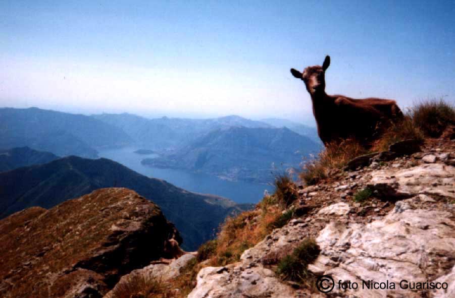
Panorama seen from the tip of mount Legnone, one of the highest mountains |
