|
Sorico and Gera Lario |
| Chiavenna |
 |
|
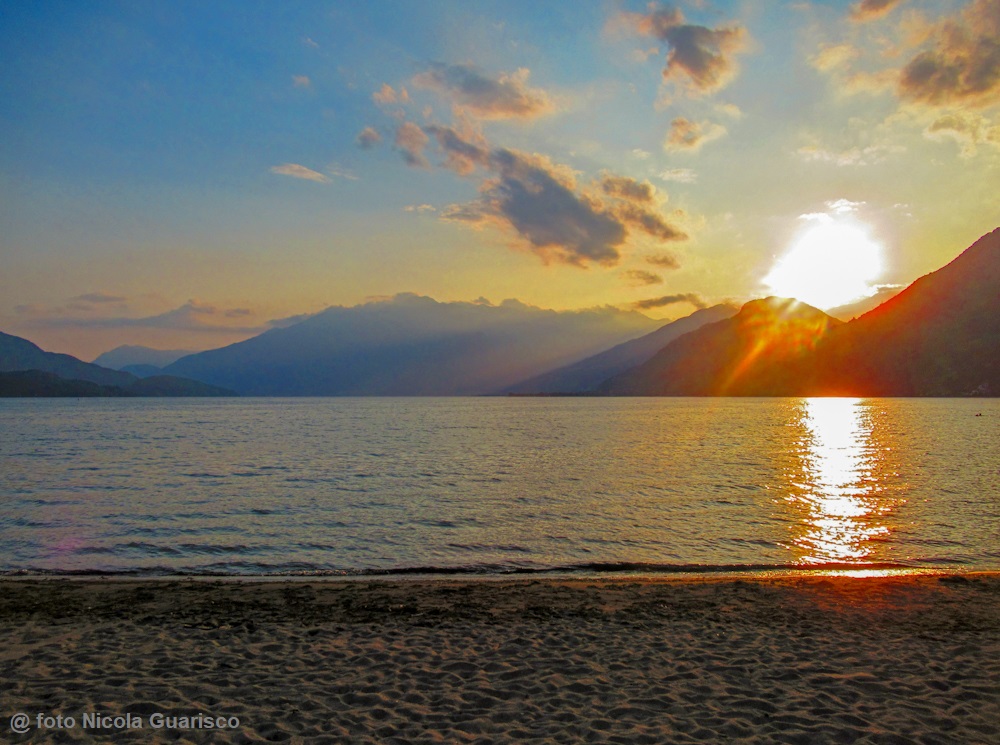
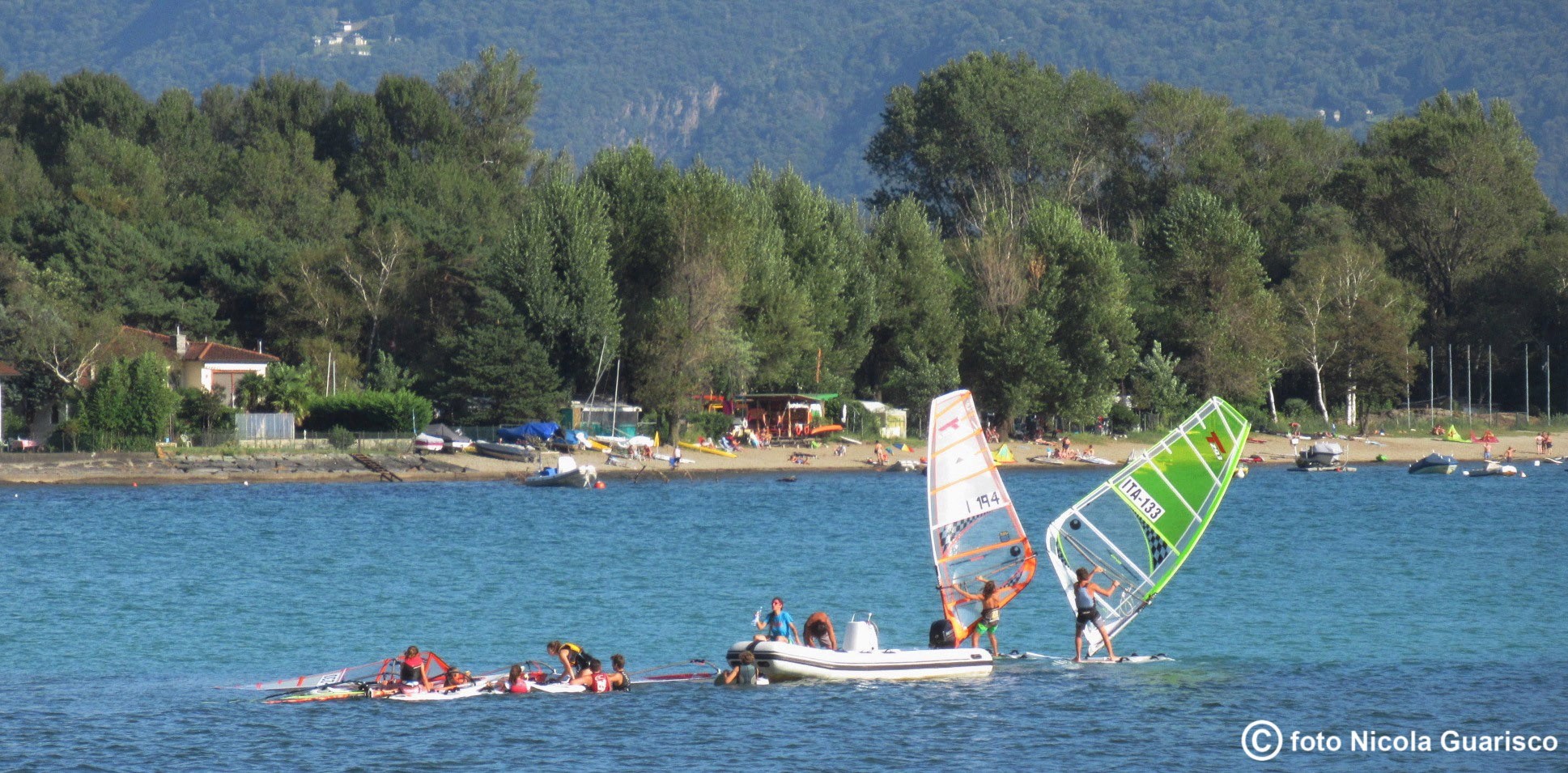
Sorico, where Lake Como ends. Despite its great beauty and nobility, the Lario is a small world on its own with a beginning and an end. This beach is made up of real sand and offers ineffable emotions when lit by the warm sunset light. Sorico and Gera Lario, the last towns on the western shore, keep watch over the lake basin which flows into the Mera River and the Adda River. The lovely surrounding nature is completely untouched and includes the Pian di Spagna (Spain Plain) fauna oasis. |
 |
 |
|
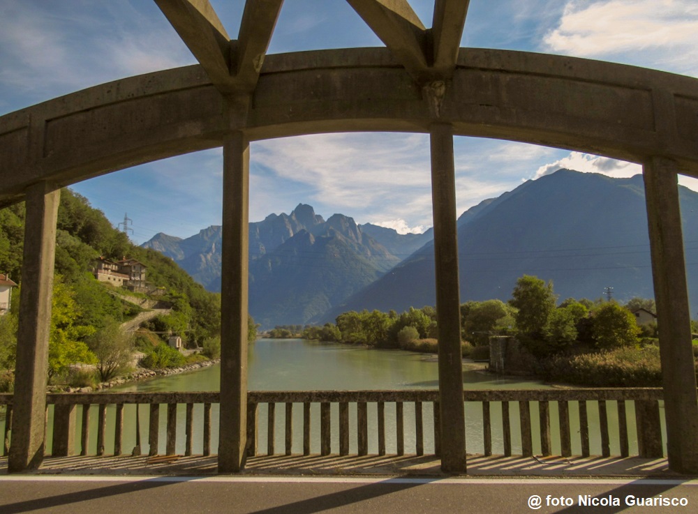
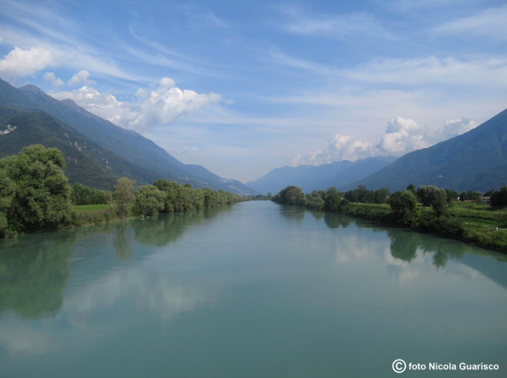
In the north, the bridge called Ponte del Passo crosses the Mera River and continues on to Valchiavenna... ...whereas, in the east, the Adda River stretches towards Valtellina. |
 |
|
A small island rises at the confluence between the lake and the river. |
 |
|
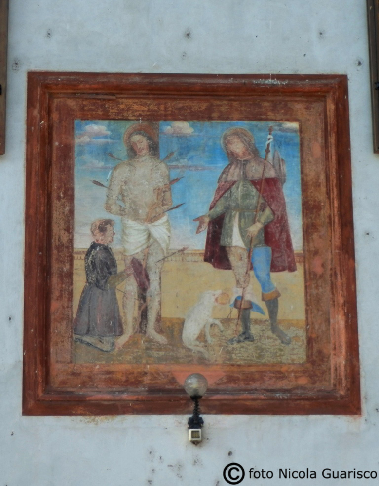
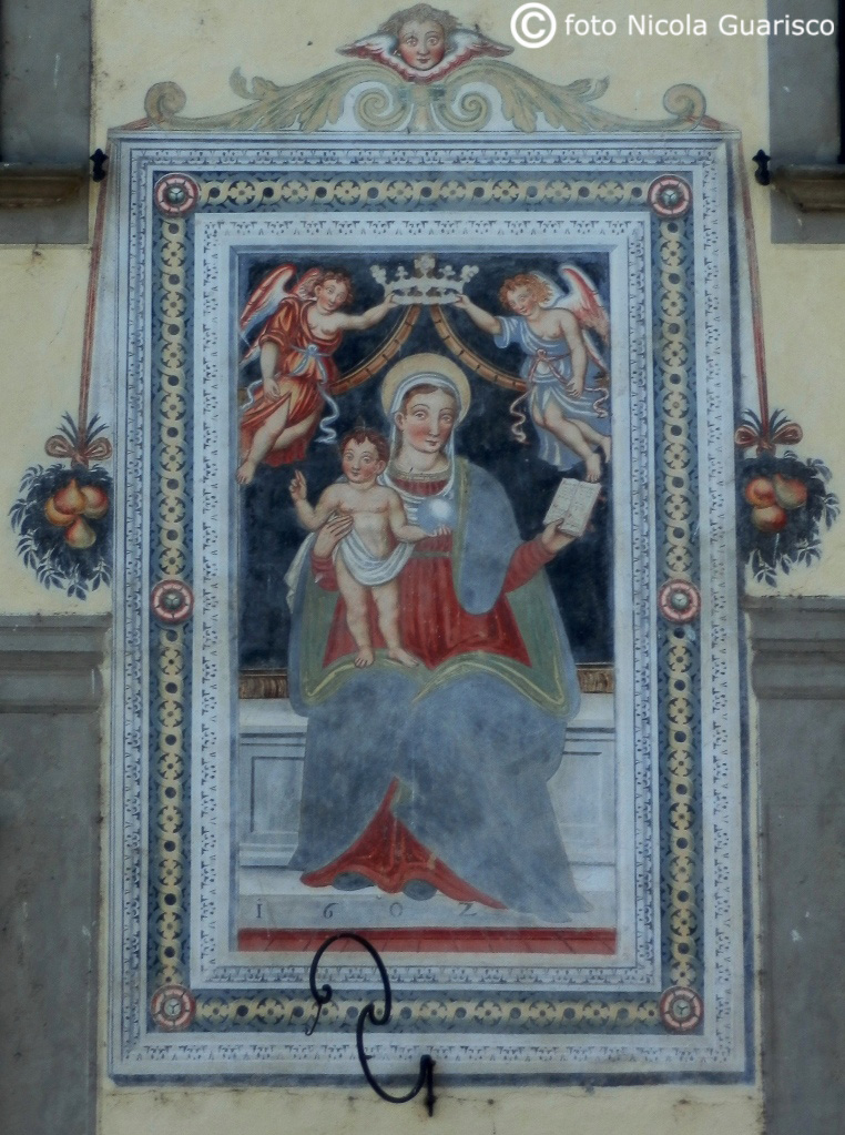
The houses of Gera decorated by frescoes of religious character. |
 |
|
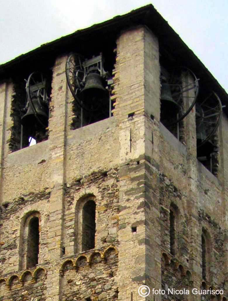
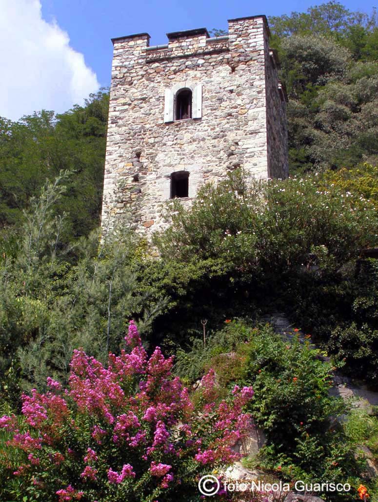
During medieval times, Sorico was one of the warring members of the Tre Pievi. The picture to your left depicts the imposing bell tower of the church of Saint Stephen (XV century). To the right we see one of the turrets once used as an access and toll point. In fact, Sorico was of great strategic importance, since it is situated at the entrance to Valtellina and the Val Chiavenna. |
 |
|
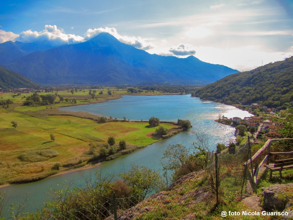
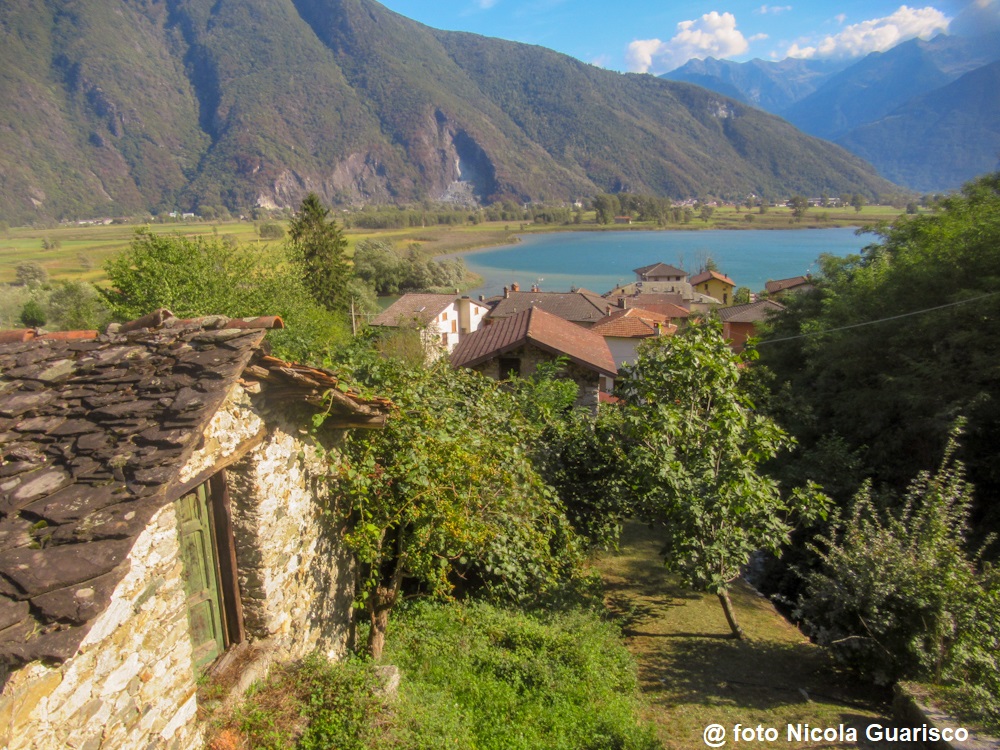
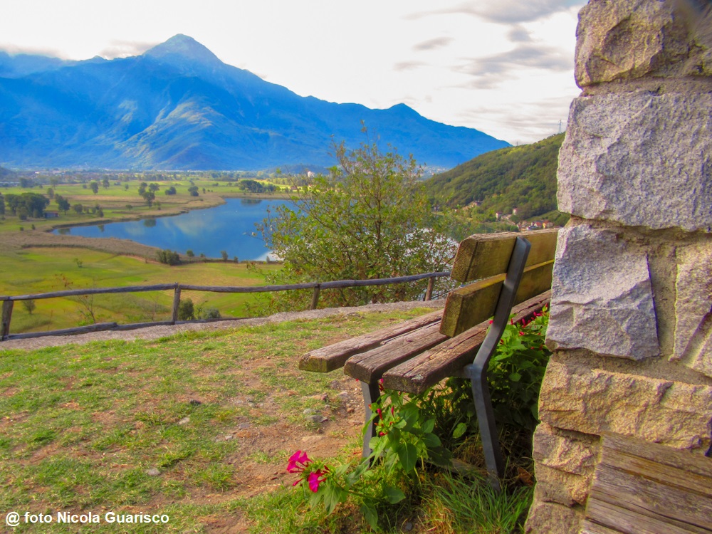
After passing Sorico, the Mera River enters the small lake of Dascio. Several stretches of water alternate with patches of dry land forming small marshy areas. Besides having been reclaimed and cultivated, several areas of the Pian di Spagna marsh still retain their typical wetland features. They are isolated sites, known by the inhabitants of Como as a place “in the middle of nowhere”, a outlyng area. |
|
|
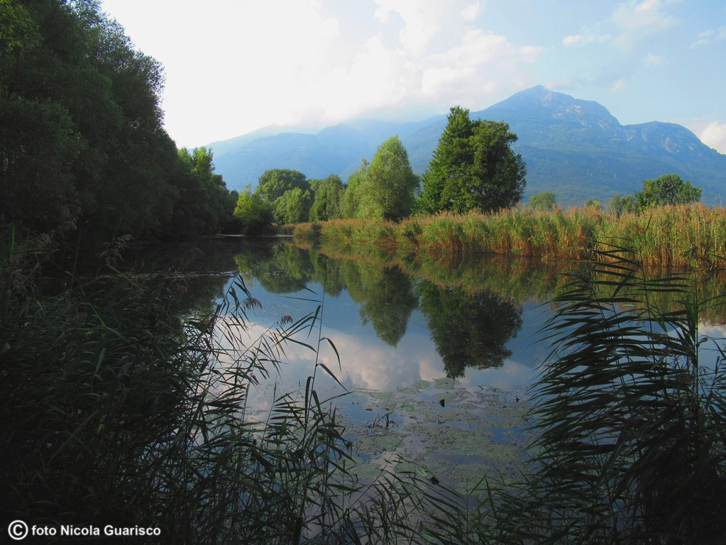
The village of Dascio is equipped with reception facilities and is an ideal starting point for day trips and excursions. It is also an optimal retreat area for those who love to enjoy the quietness and charm of an almost-intact landscape at the feet of the impressive mountains of the Valtellina area, punctuated with dilapidated barns, tall grass meadows and tools that look as if they had been abandoned. |
|
|
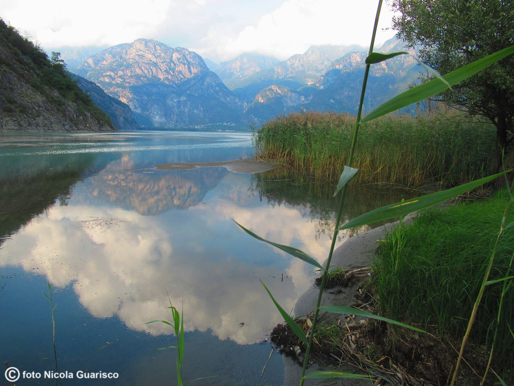
The small lake of Dascio merging with Lake Mezzola. |
|
|
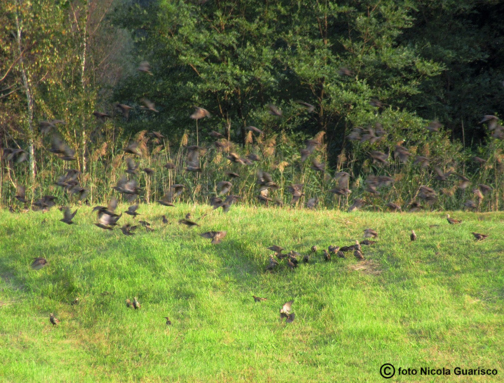
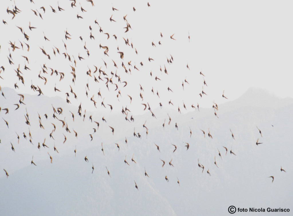
Various animal species, such as coots, quails, mute swans, and the like, come here to build their nests. |
|
|
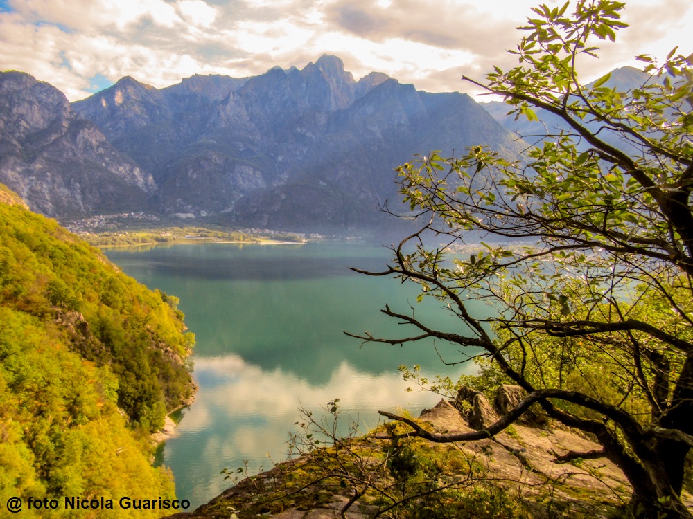
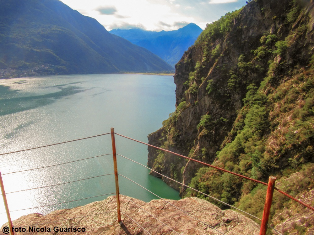
The excursion from Dascio to the church of San Fedelino, on Lake Mezzola. |
|
|
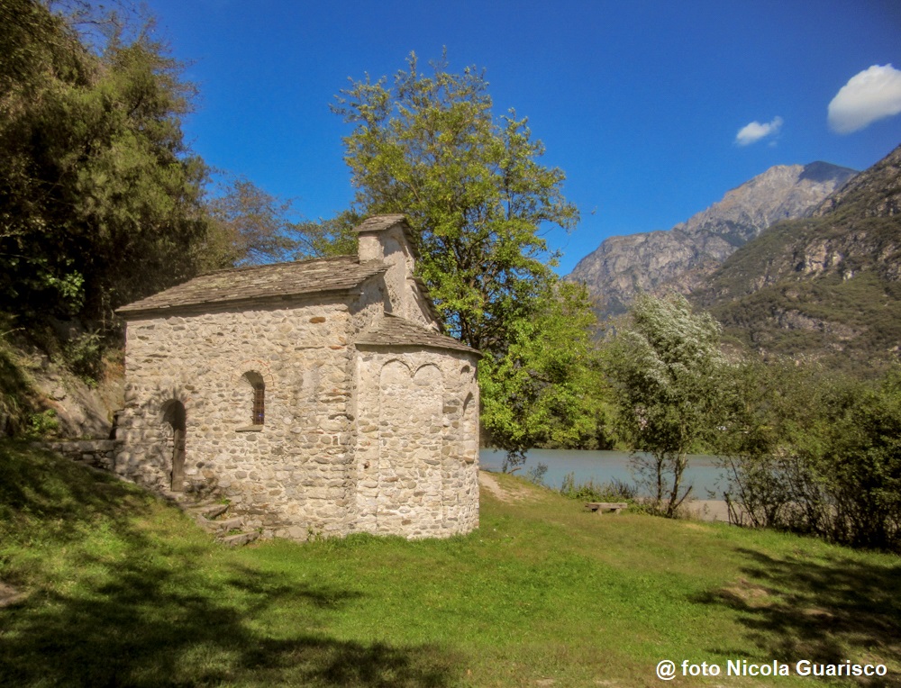
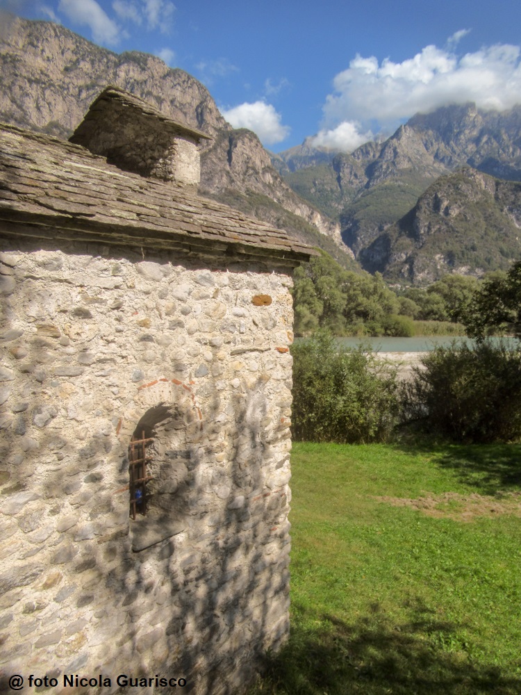
The small and lonely church of San Fedelino (10th century), proto-martyr of Como. A magical place. |
|
|
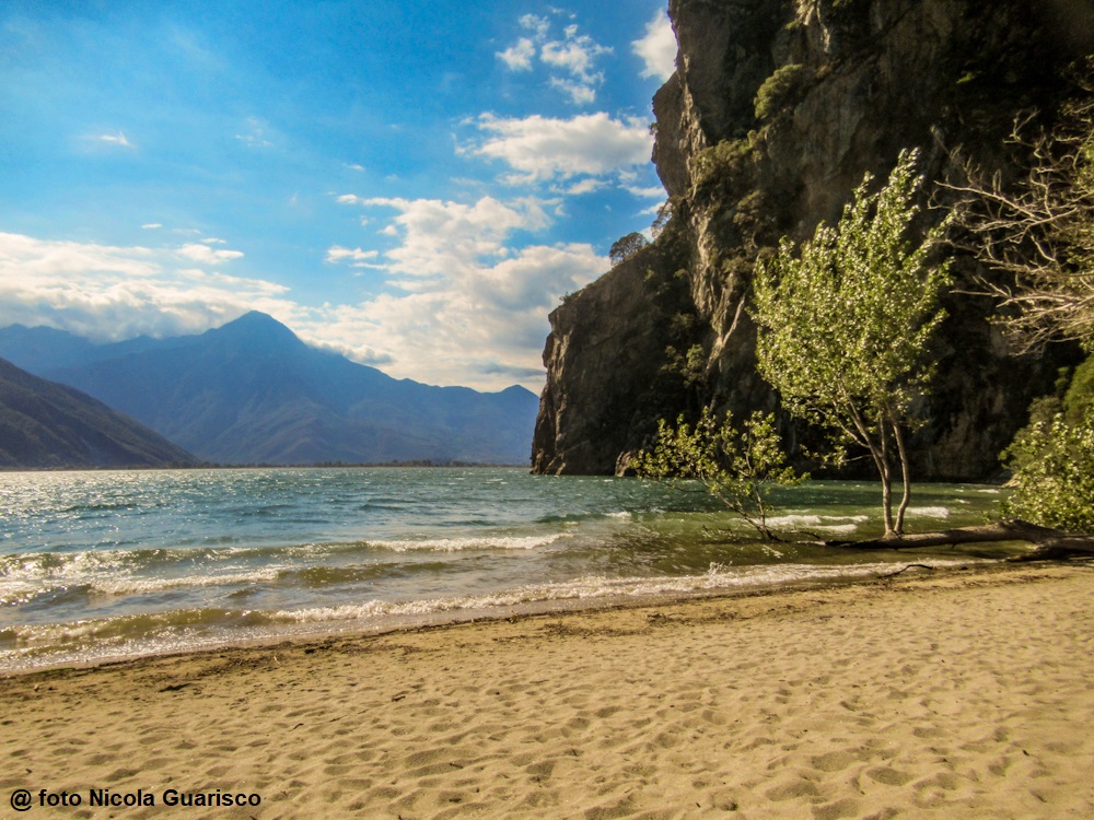
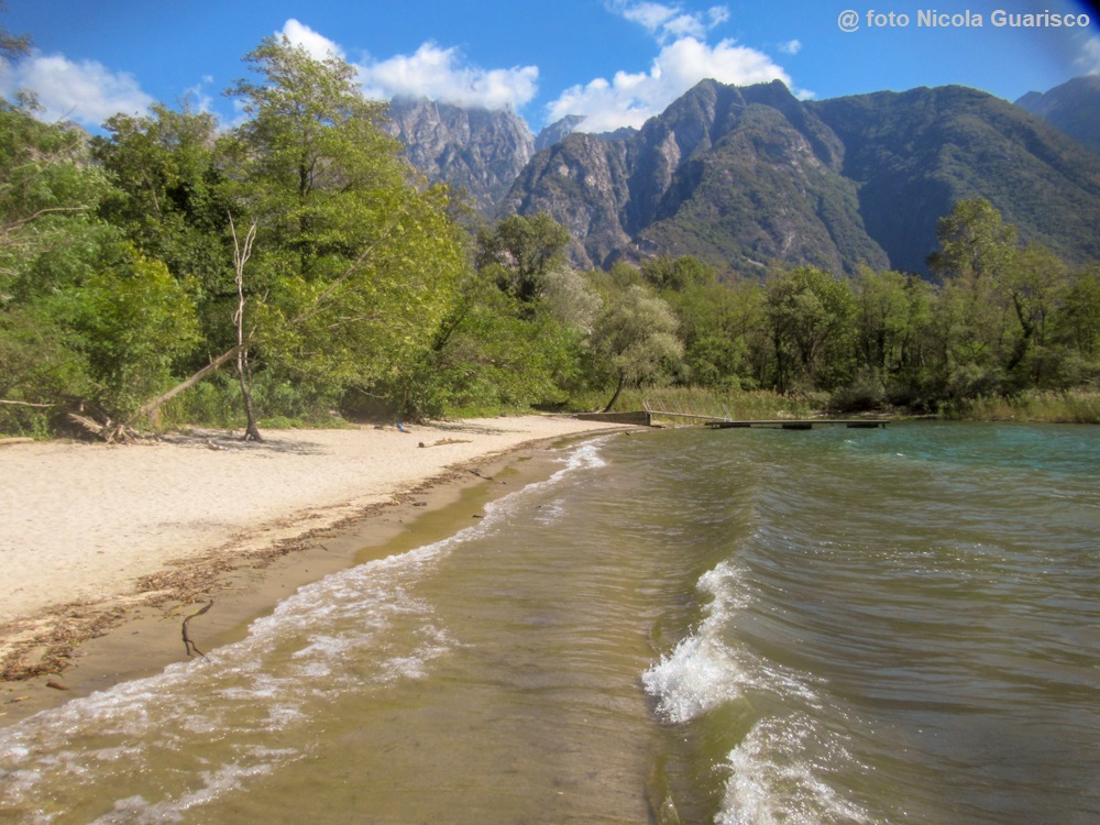
Near the church, there is the sandy beach of San Fedelelino, almost inaccessible. |
|
|
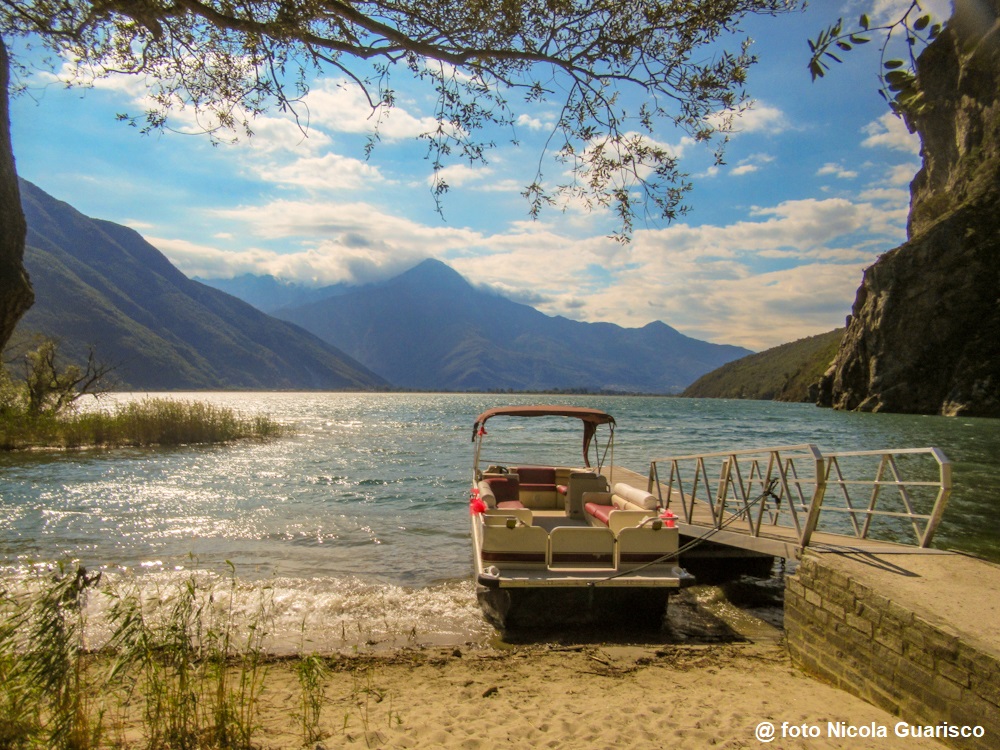
Don't they look like Canadian landscapes?... |
 |
|
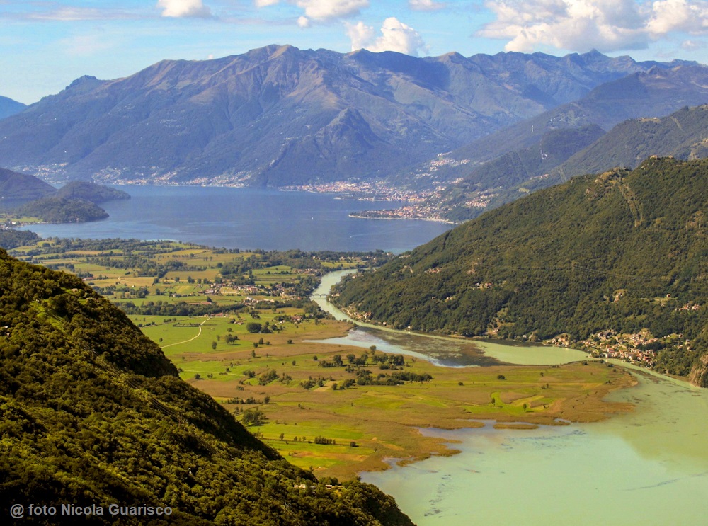
Like a sort of umbilical cord, the Mera River connects the Lario to Lake Mezzola (in the foreground of the photo). This picture is orientated southwards and was taken from the "Tracciolino" trail above Verceia. Up until recently, both basins were joined together and Lake Como was 10 km longer than it is today. From the Middle Ages onward, the effect of river sediments started to become visible when the shallow lake beds were filled in, mostly during the great floods of the 17th century. |
 |
|
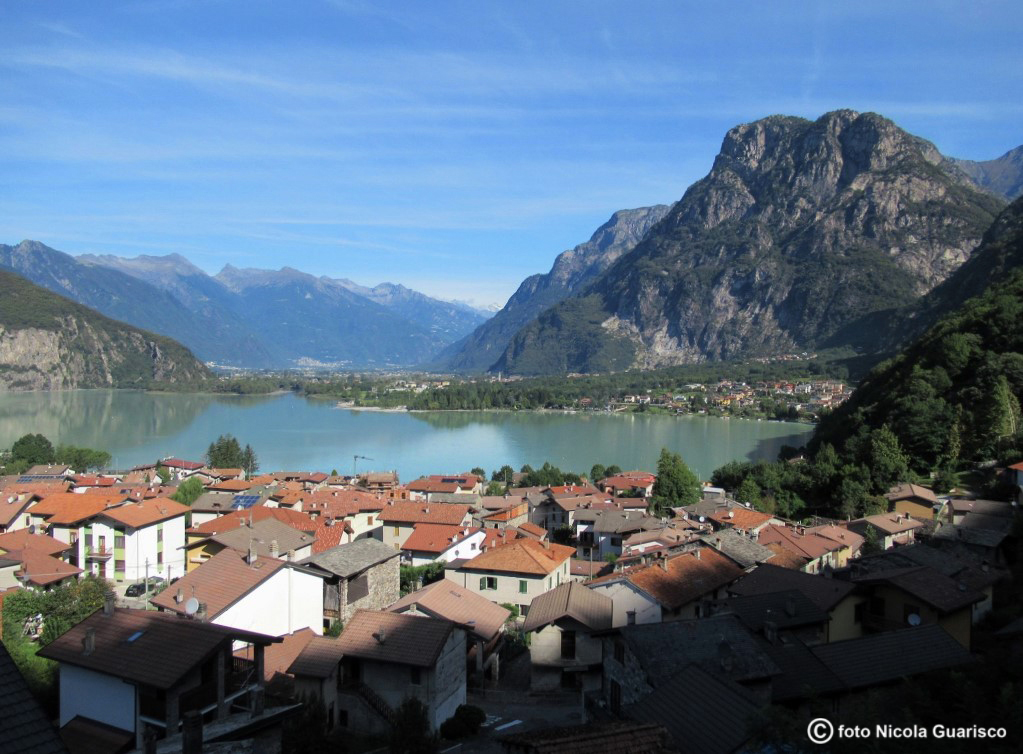
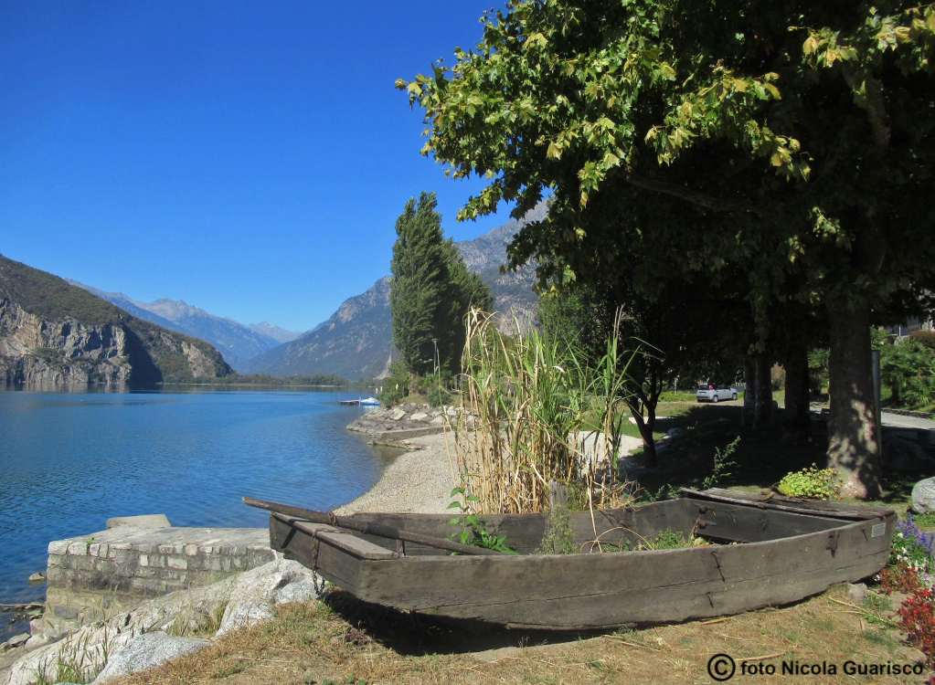
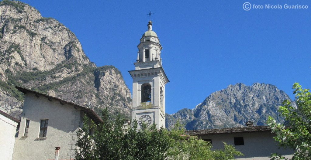
Lake Mezzola: panorama of Verceia, Novate Mezzola and Samolaco in Valchiavenna. Samolaco, known by the ancient Romans as "Summu Lacu", located at the farthest end of Lake Como and an important merchant port. |
 |
|
The peaceful shores of Lake Mezzola near Verceia. |
 |
|
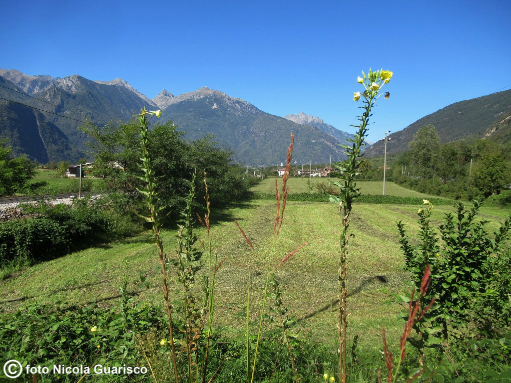
Novate Mezzola and the suggestive rocks of Val Codera. |
|
|
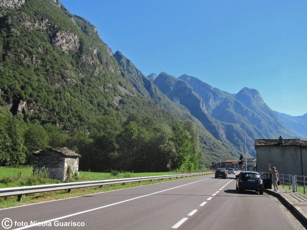
Valchiavenna, the Italian "deep north" that extends northward towards the Spluga pass (west branch) and the Maloja-St.Moritz pass (east branch), which borders the German-speaking part of Switzerland. This verdant valley has always been a major transition zone between northern and southern Europe, as evidenced by the rich historical remains of Chiavenna, the main town. Chiavenna is politically located in the province of Sondrio but culturally linked to Como (about a hundred miles away), it lies at the farthest end of the Larian territory. |
| Chiavenna |
